
Think BeyondMaps. Explore. Analyse. Innovate.
Master GIS, Remote Sensing, WebGIS, Drone Mapping, Python, and GeoAI through practical, hands-on learning.

What do you want to build?
Pick a goal and jump straight to the course for it.
Start learning today
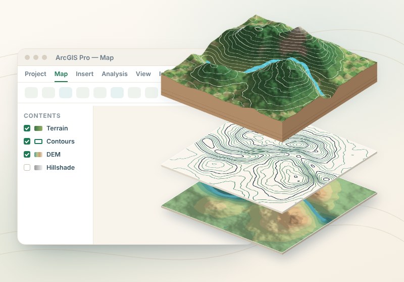
ArcGIS Pro Masterclass: From Fundamentals to Advanced GIS
Dr. Abhijit Patil
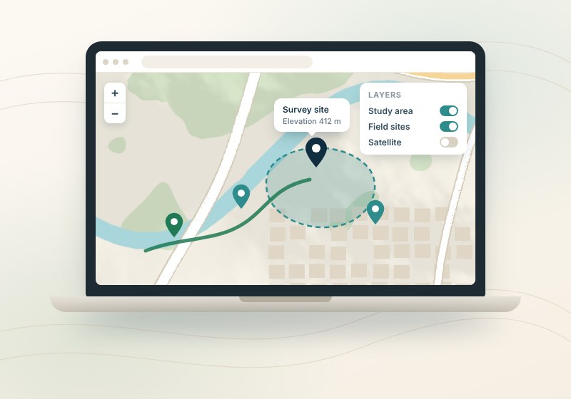
ArcGIS Online Masterclass: Maps, Apps & Dashboards
Dr. Abhijit Patil
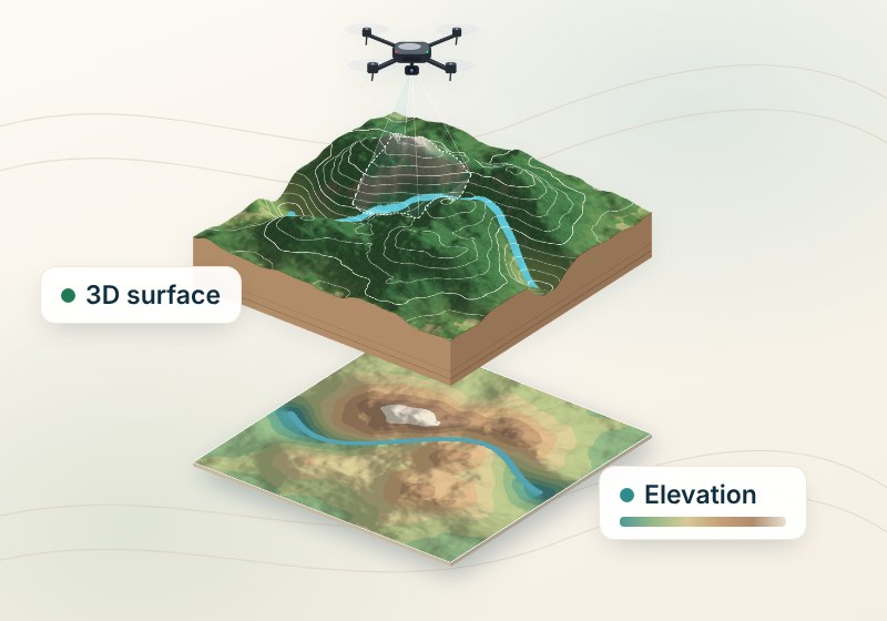
Drone Mapping: From Images to 3D Models
Dr. Abhijit Patil
Python Programming: Start Your Developer Journey
Dr. Abhijit Patil
Why learners choose Think to Map
Practical from day one
Lessons use real datasets and industry-standard GIS software.
Taught by a PhD educator
10+ years of teaching, 22 research articles and 5,000+ students. You learn the why, not just the clicks.
Affordable, at your pace
Courses from ₹1,999, or get every course with a membership from ₹999/month.
Choose your plan
Buy one course, or unlock all courses with a membership.
Single Course
- Access to This Course Only
- Certificate Provided Upon Completion
1 Month
- Access to All Courses
- Access to Updated Courses
- Access Duration: 1 Month
6 Months
- Access to All Courses
- Access to Updated Courses
- Access Duration: 6 Months
1 Year
- Access to All Courses
- Access to Updated Courses
- Access Duration: 1 Year
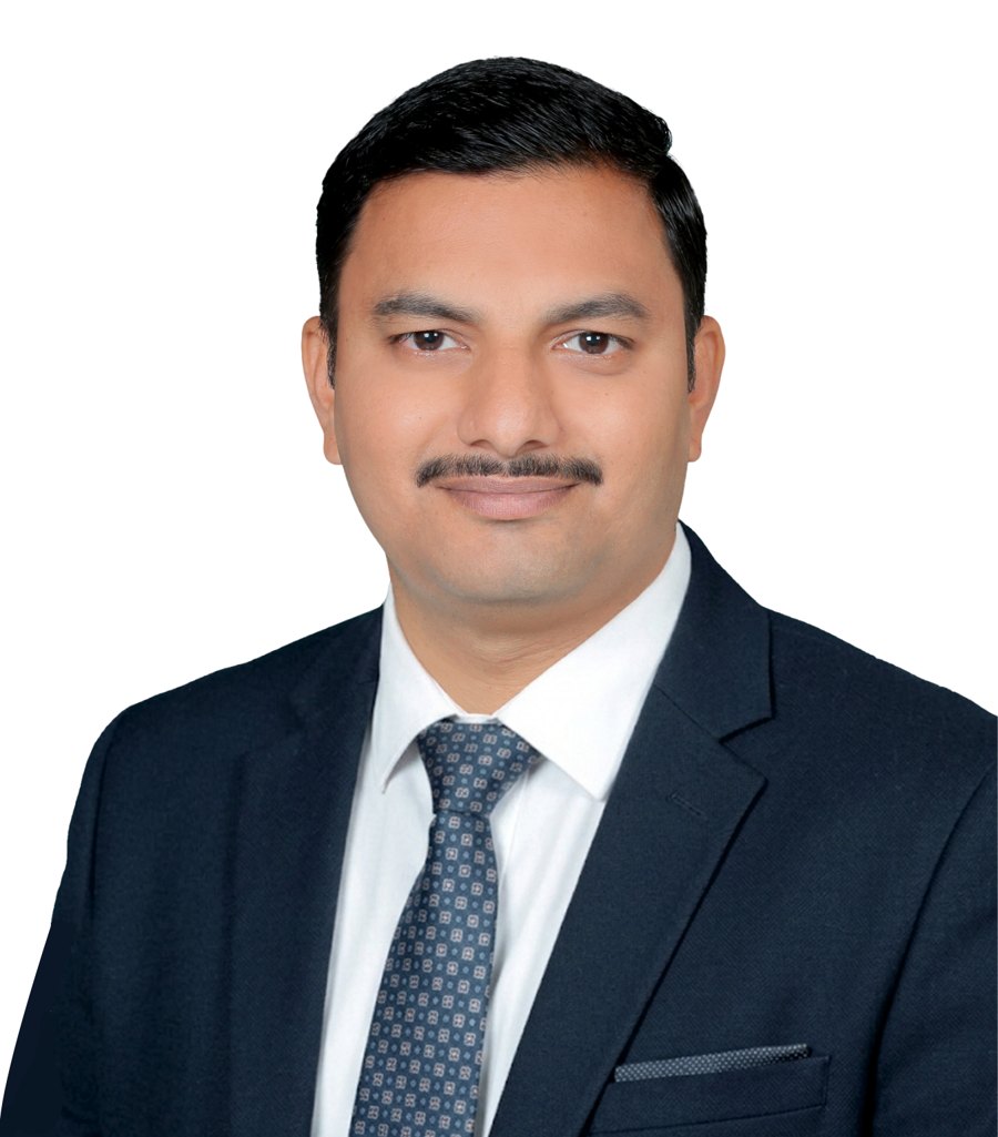
Dr. Abhijit Patil
Dr. Abhijit Patil is an Assistant Professor at Sate University with over 10 years of experience in Geoinformatics and Geospatial Technology. He holds a P.hD and M.Tech in Geoinformatics, specializing in remote sensing, GIS, and drone mapping. With 22 research articles published in international journals and having guided over 70 PG projects, he brings a wealth of academic and practical knowledge to his students. He has taught more than 5,000 students globally, helping them master complex spatial analysis and mapping tools.
Choose a course or plan
Pick one course, or unlock all courses with a membership.
Practise hands-on
Follow along with real data in each lesson.
Build your portfolio
Finish with maps and projects you can show.
What our learners say
Real feedback from students and professionals who learned GIS, remote sensing and drone mapping with Think2Map.
Think To Map is an excellent platform that makes geospatial learning more interactive, engaging, and accessible. Its innovative approach combines technology with education in a meaningful way. My sincere appreciation and best wishes to the entire team, especially Dr. Abhijit Patil, for this wonderful initiative.
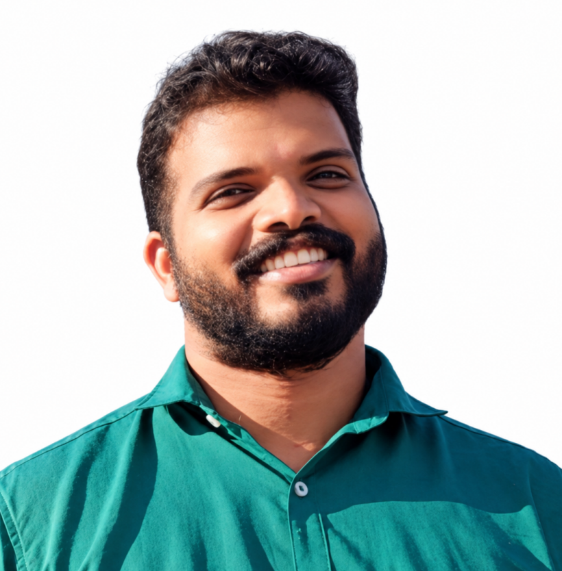
Think To Map is an innovative platform that reflects creativity, dedication, and a forward-thinking vision. Its potential to make learning interactive, engaging, and accessible is truly commendable. Wishing the entire team, especially Dr. Abhijit Patil, continued success and many more achievements!
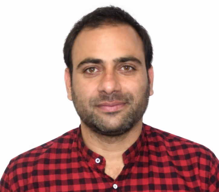
Abhijit is a hardworking and knowledgeable teacher. He explains geospatial technology from the basics to advanced concepts in a simple way. I have attended both his online and offline sessions and had a great learning experience. He is also a kind and supportive person.
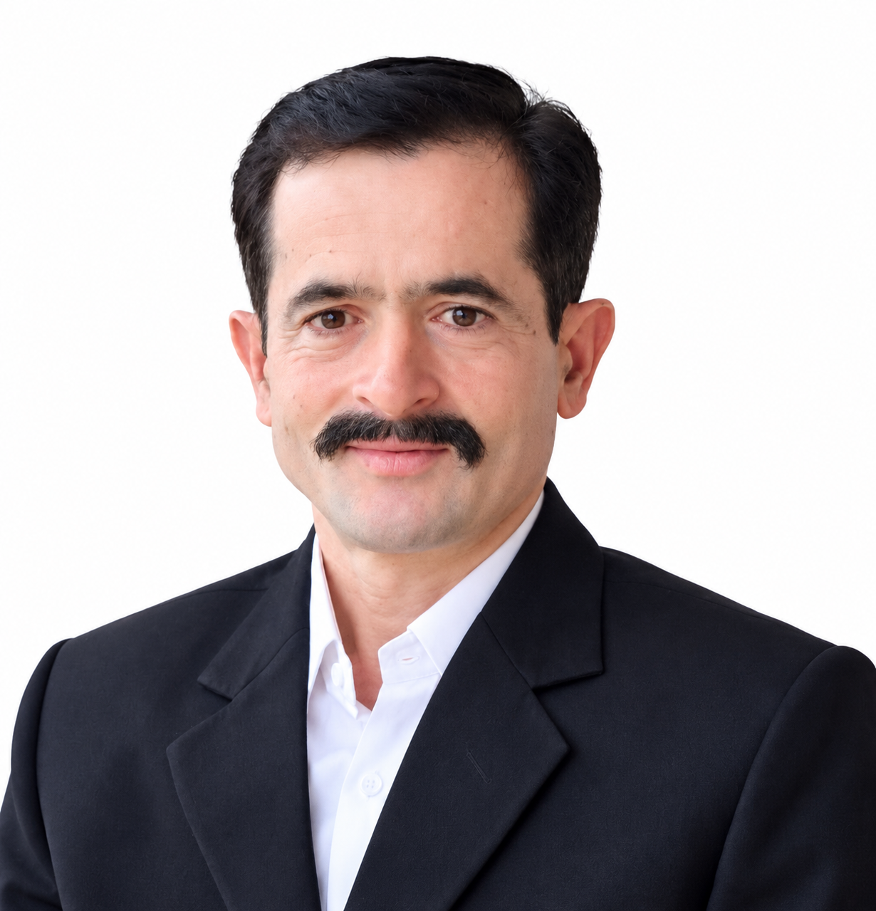
Think To Map is a great platform! I personally know Abhijit and have attended his lectures. His teaching style is simple, practical, and easy to understand. It’s great to see his efforts in making geospatial technology accessible to everyone. Wishing him all the best!
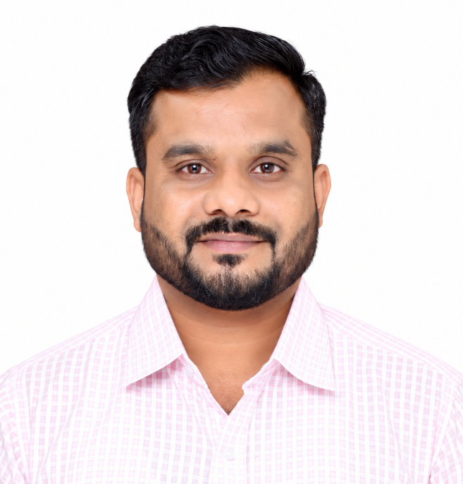
The ArcGIS Pro and ArcGIS Online sessions by Dr. Abhijit Patil are very informative and practical. His teaching style makes GIS concepts easy to understand and helps learners improve their mapping and spatial analysis skills. These sessions are highly useful for students, researchers, and GIS professionals. I highly recommend them to anyone interested in learning GIS.

[Add learner feedback] Replace this text with a real testimonial in the learner’s own words — what they learned, built or achieved.
 200K+ creators trust Graphy